QuickRoute provides custom driving routes to ensure first responders can navigate to an emergency as quickly as possible. Off the shelf mapping solutions like Google Maps are great for everyday driving but QuickRoute accounts for first responders ability to use alternative procedures during an emergency and some of the restrictions that can come with operating a larger vehicle. QuickRoute uses multiple data streams including: A global database of road and infrastructure that is updated daily; manufacturer specs for common vehicle types (Ladder, Ambulance, Crash Truck, Patrol Car, Water, Tender, etc.); Road and bridge weight limits and tunnel and bridge clearance from the US Department of Transportation
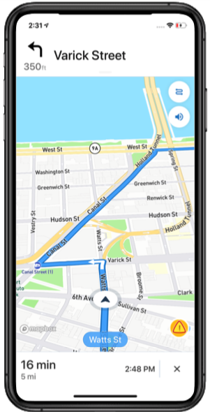
QuickRoute works on the devices you already use. It is currently available for download in the Apple App Store and is coming soon to the Android Google Play Store.
QuickRoute allows mobile and ECC users to tag road obstructions including, hazards, flooding, accidents, construction and other obstacles. All road obstructions appear on everyone's map in real time. Routes provided by QuickRoute automatically take road obstructions into account when providing routes.
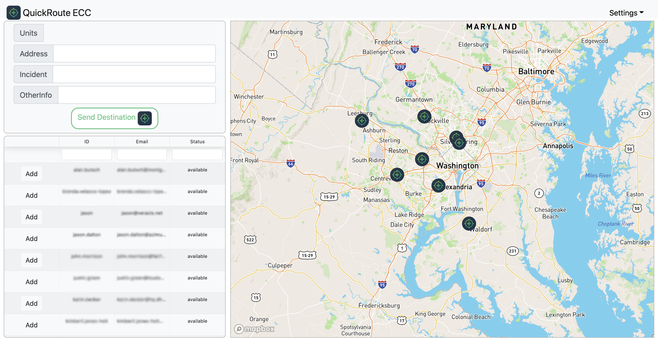
The ECC app, part of the Enterprise level subscription features an interactive map display with vehicle tracking, pushing routes to users for hands-free navigation, and pre-planning of road outages. Also you can use the QuickRoute ECC map screen as a low cost AVL system or a backup for when CAD goes down.
If the 12 pre-loaded vehicle types don't meet your specific requirements, QuickRoute allows for complete customization. You are able to create new driving profiles with your exact vehicle dimensions and with the amount above the posted speed limit your jurisdiction allows you to drive.