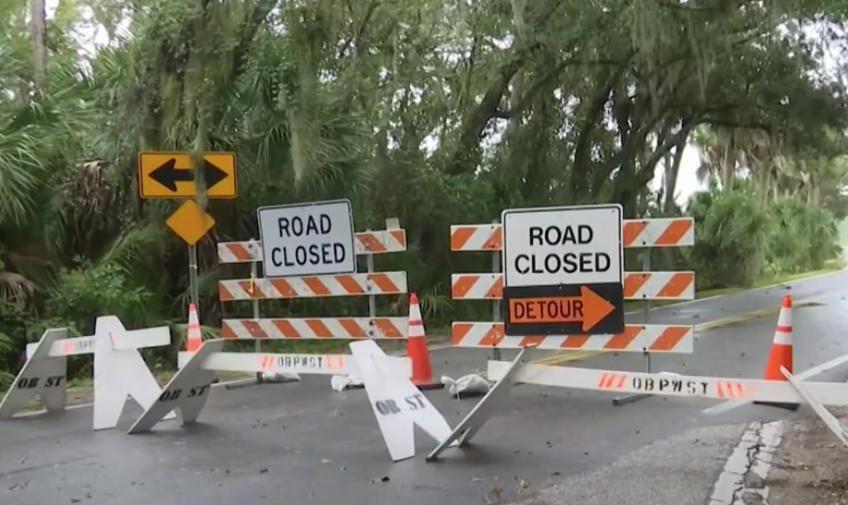
QuickRoute is GPS routing for emergency response vehicles. It accounts for official rescue and response vehicle rules and capabilities to get emergency responders to the scene as fast as possible.
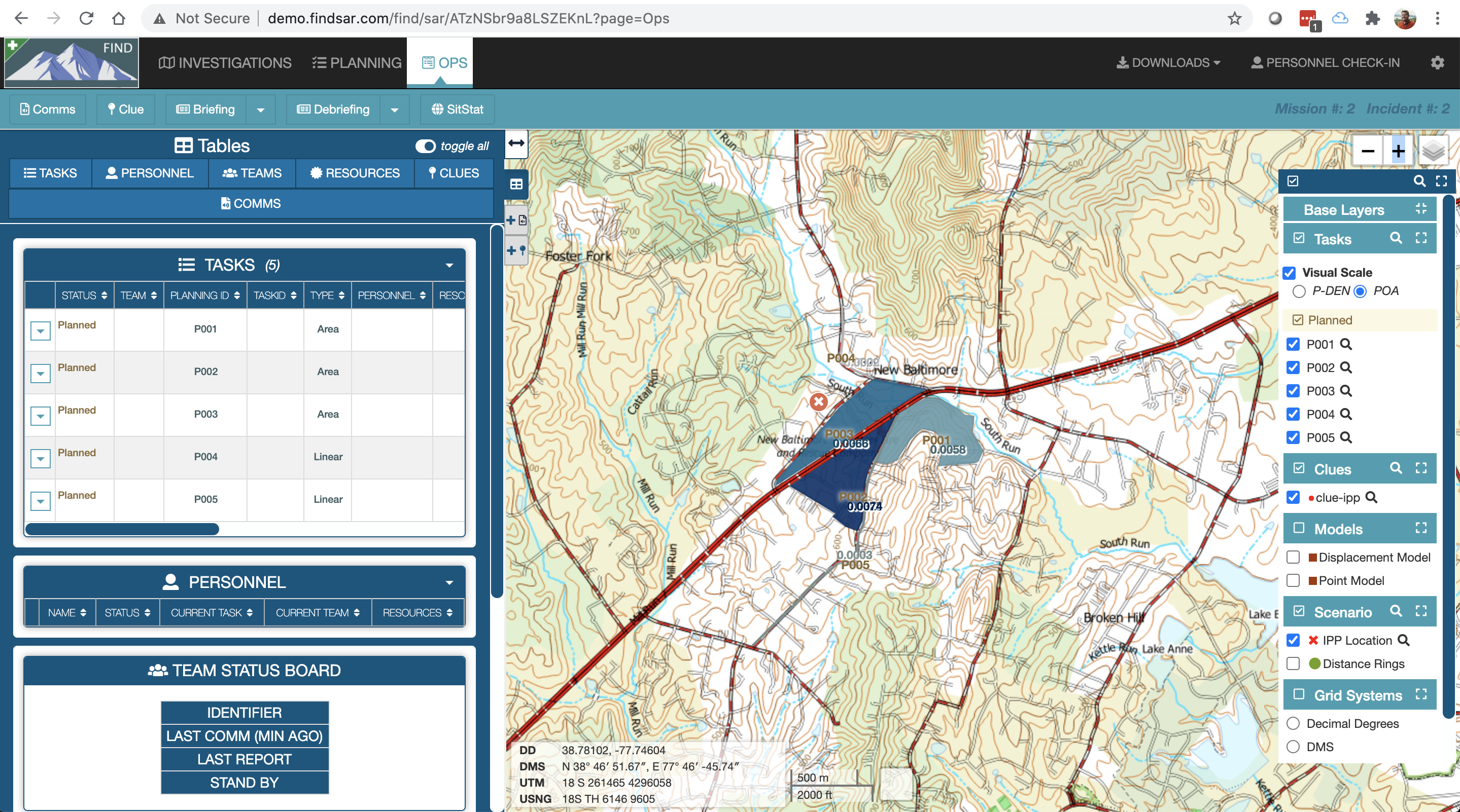
FIND is a search and rescue (SAR) mission management tool. It combines search theory, task management, resource tracking, and field task mapping.
MiniCarta is a geospatial data collection and sharing platform we offer because we routinely see a need for a simple, fast, and accurate data collection and tagging system for field work. MiniCarta serves lots of uses, but we originally built it for disaster response teams. You may find it useful for tagging and sharing hazards, search locations, incident command icons, and tracking teams.
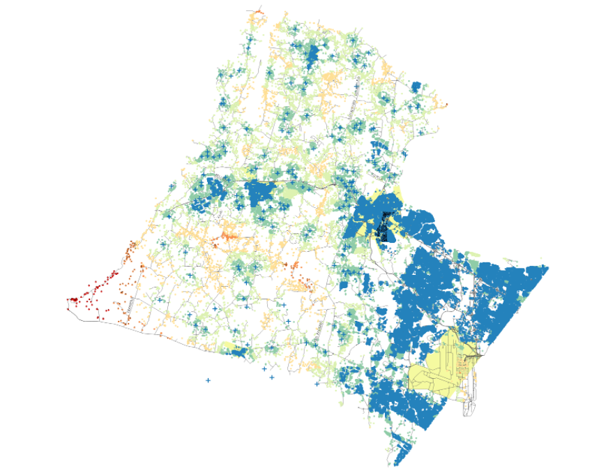
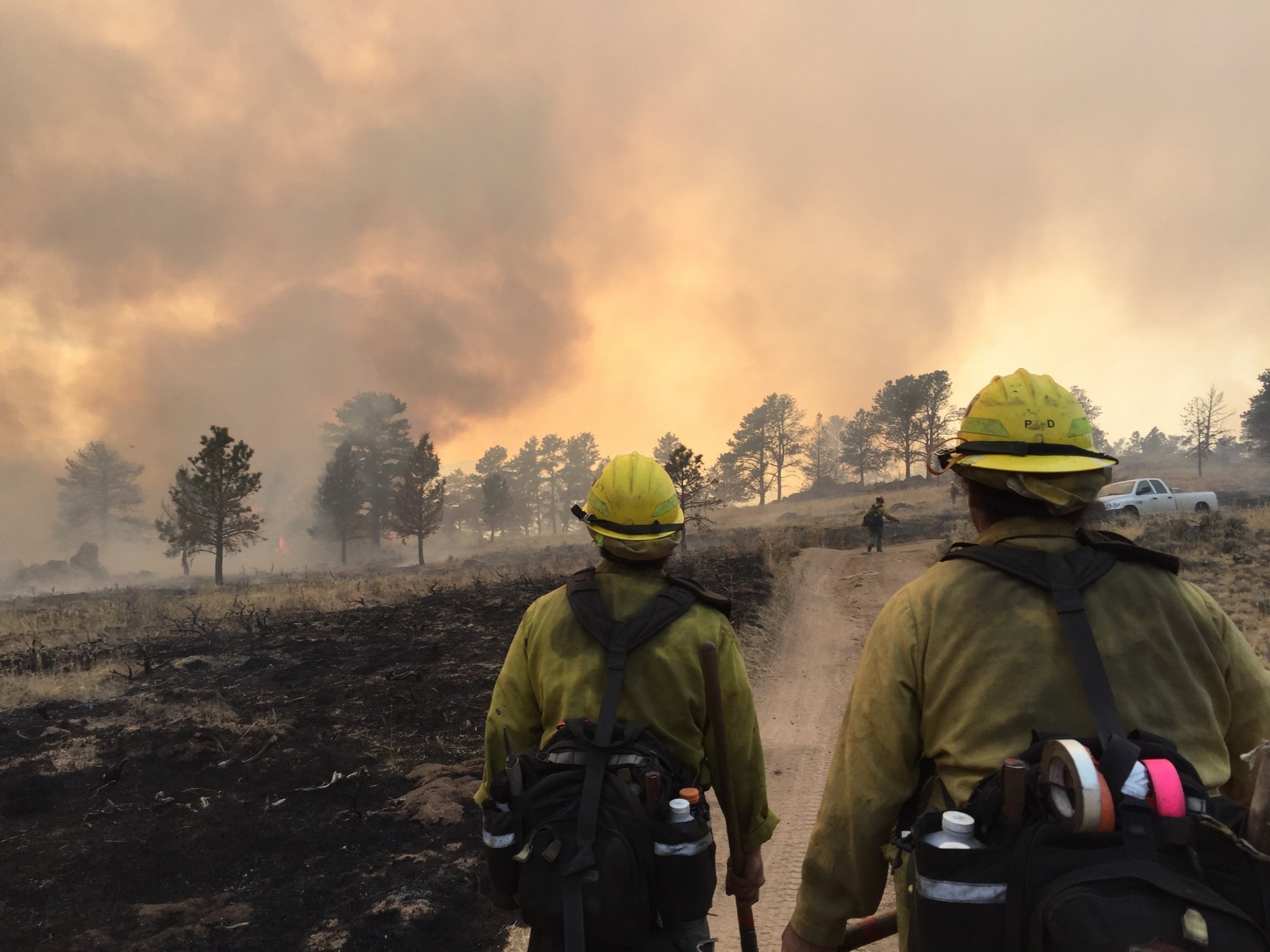
FireRoute calculates water availability across your county so you know where there are shortages in the amount of water needed to respond to fires using rural water operations.

SARCAT is a records management system for search and rescue teams. Keeping thorough records on missions is important for tracking training hours, mission hours, reducing libility, and for data analysis through the international search and rescue database, ISRID. SARCAT is free and open source.
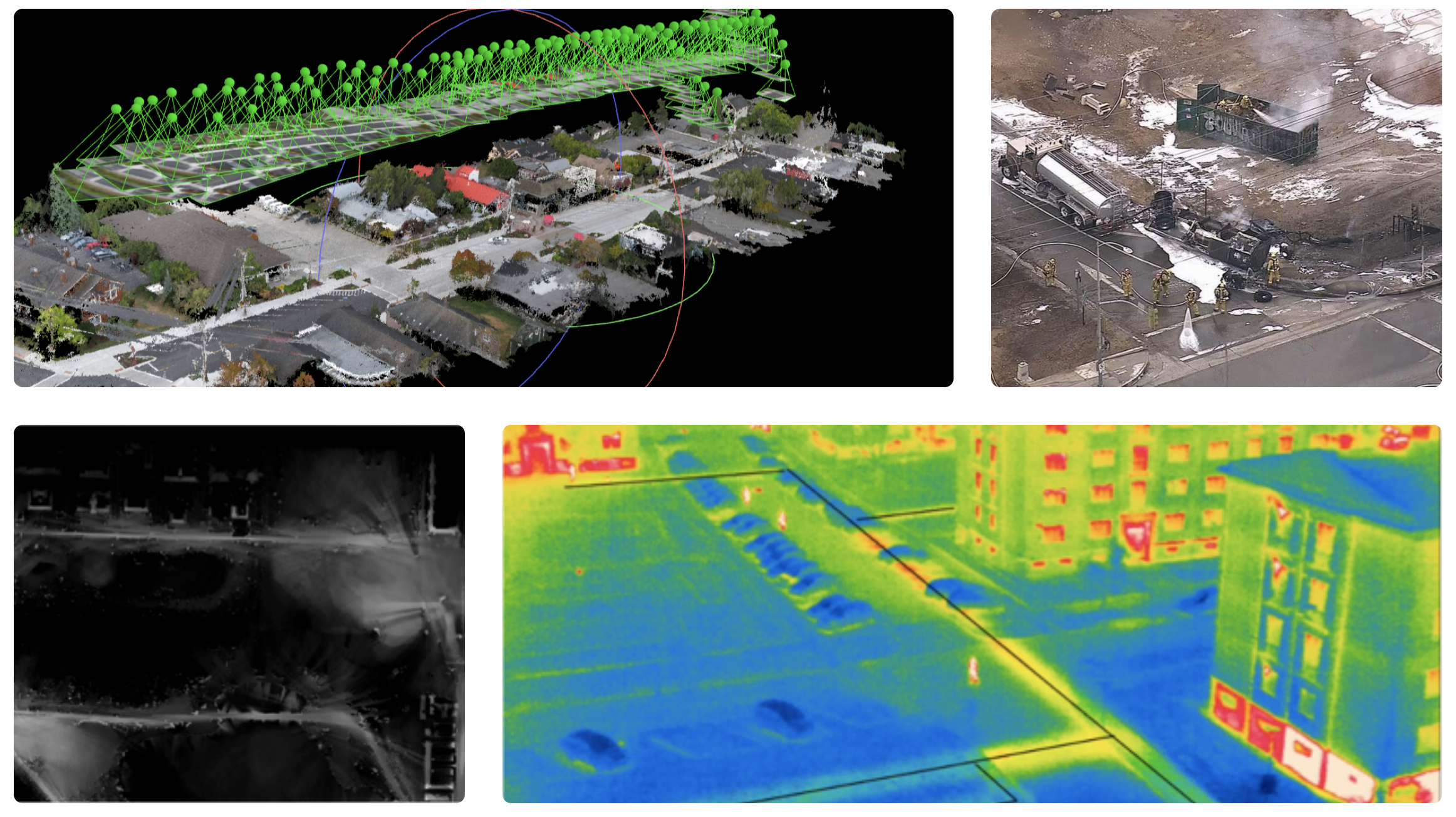
Handles processing your drone data collection into usable information quickly and on demand. The portable ruggedized solution is specifically tailored to the needs of first responders, law enforcement, search and rescue, and disaster response.