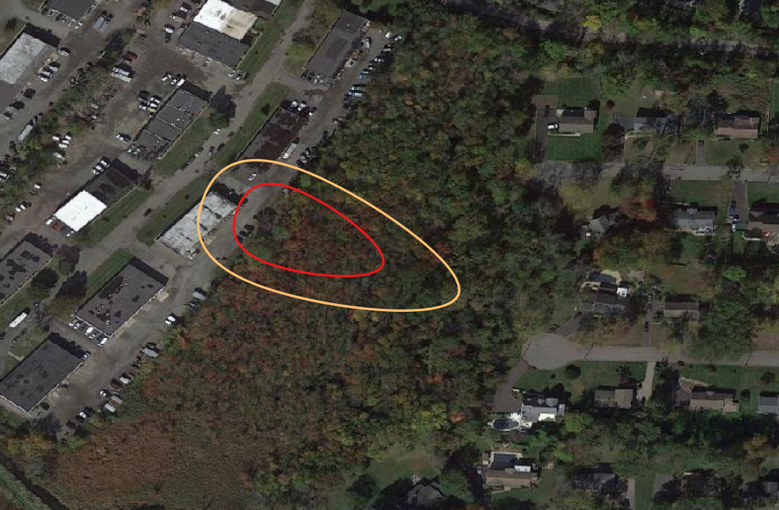
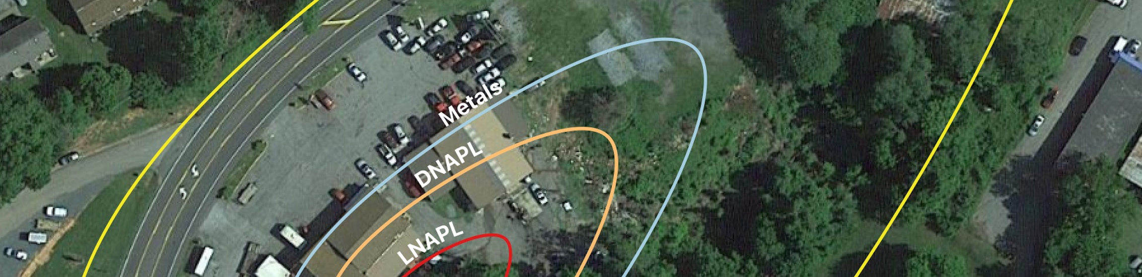
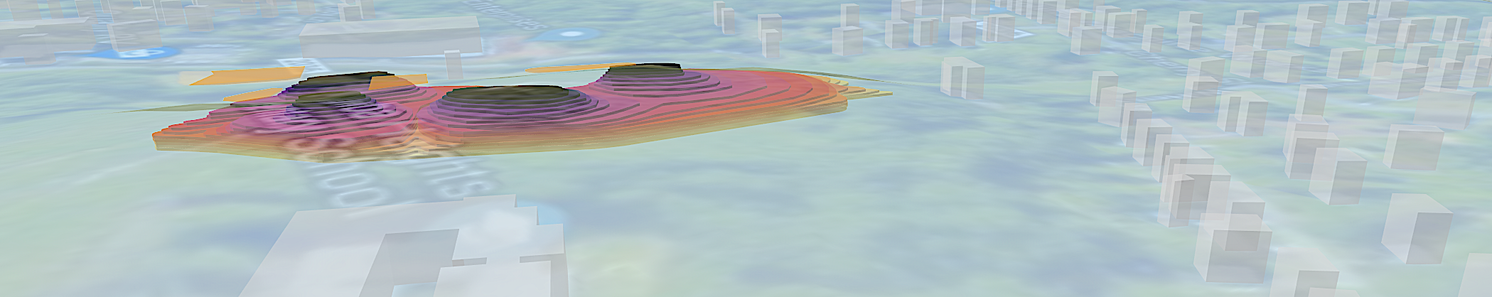
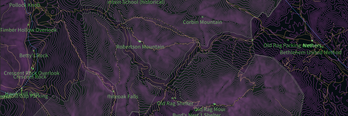
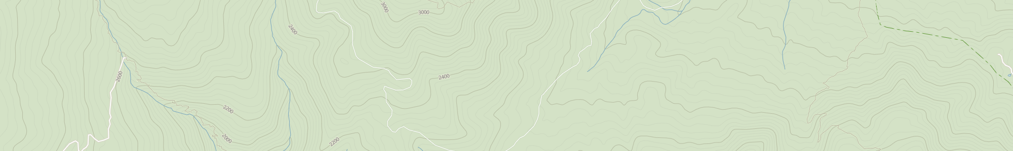
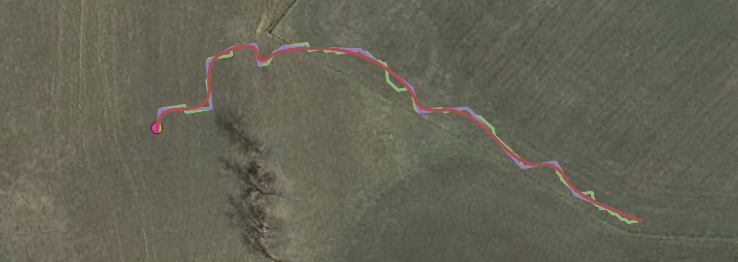
Azimuth1 announces new Advisory Board
Azimuth1 is proud to announce the formation of our Advisory Board. We are fortunate to have three Board members who bring a wealth of experience and insight, and are committed...
Azimuth1 is set to launch a modified version of its MiniCarta team mapping mobile app this week to support the needs of first responders and public safety officials collecting data...
Thank you to everyone that participated in our COVID-19 Environmental Remediation Survey. We started this survey because as we talk to dozens of remediation professionals each week we are getting...
Azimuth1 analyzes groundwater factors and correlation to plume dimensions in EnviMetric model.
EnviMetric’s environmental remediation tool is a plume modeling software that analyzes data from over 85,000 sites across the United States to help Project Managers understand plume boundaries. We’ve compiled a...
We’re happy to welcome Ryan Velazquez to the Azimuth1 team!
Azimuth1 and dbS Productions produce the FIND software for managing search and rescue missions. At a recent exercise in Idaho, we discovered that the forest service access roads in many...
In our work with the Department of Homeland Security and dbS SAR, Azimuth1 is designing and building search and rescue software for first responders. Part of that system is a...
We’re excited to welcome Robert Sellers to our team! Robert is a data scientist based in NYC and will be focusing on our navigation and routing products as well as...
We’ve recently added the capability to use soil boring logs in SmartData Solutions. Of all the ideas that our customers float our way, this is the one that people have...
Two weeks ago, Azimuth1 supported search and rescue teams from across Virginia and North Carolina at the Blue Ridge Parkway Search and Rescue Exercise (SAREX), a simulated lost person search...
Today at the ESRI Federal User Group Conference, they announced HIFLD Open, which is a subset of the HIFLD (formerly known as HSIP) data that is open, and with no...
If you’re heading to the 26th Annual Virginia GIS Conference next week, you can have a little fun with a geo-challenge we’ve set up. You’ll need to find the map...
Understanding lost person behavior is essential to making better decisions in how you allocate trained search resources like field search teams, search dogs, helicopters, and drones. For several years now...
Anna Milligan joined Azimuth1 this summer as an intern and we’re happy to say she’ll be staying on with us as an Environmental Analyst. At Azimuth1 Anna works with lab...
As you may have read in our preceding post, the Search and Rescue (SAR) map we are building seeks to combine the vital features of USGS topographic maps with the...
A child is lost in the forest. An elderly dementia patient wanders away from home. A hiker is overdue from a weekend outing. These scenarios happen daily around the world...
Bayesian statistics are useful for handling uncertainty of outcomes in many situations. With the growth of small-sats, the latest generation of small and relatively cheap sensors for Earth imaging, the...